Participatory 3D Modelling to manage conflicts in the Municipality of Lagawe, Ifugao, Philippines

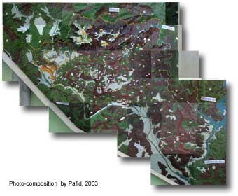
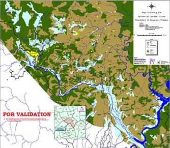
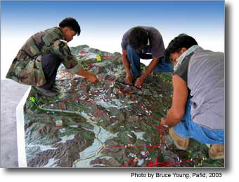 This 1:5,000 scale 3D model of the Municipality of Lagawe in Ifugao, was assembled and updated in phases over the period 2000 – 2002.
The model, representing a total area of approx. 470 sq. km, has been used for renewing peace pacts (bodong) between ethno-linguistic groups disputing the outlining of administrative boundaries. Face to face negotiations were supported by the use of P3DM, GIS and GPS.
The model has been produced in the framework of the 1997-2003 Integrated Conflict Resolution and Management Programme (ICRMP) in the Cordillera. The initiative was supported by the Office of the Presidential Advisor on the Peace Process (OPAPP) and has been implemented by Local Government Units with the support of NGOs including PAFID.
Follow us!